
AGAFT DMV Drone Services
Professional Aerial Imaging, Mapping, 3D Modeling, and Event Coverage for DC, Maryland, and Virginia (DMV)
Professional Aerial Imaging, Mapping, 3D Modeling, and Event Coverage for DC, Maryland, and Virginia (DMV)
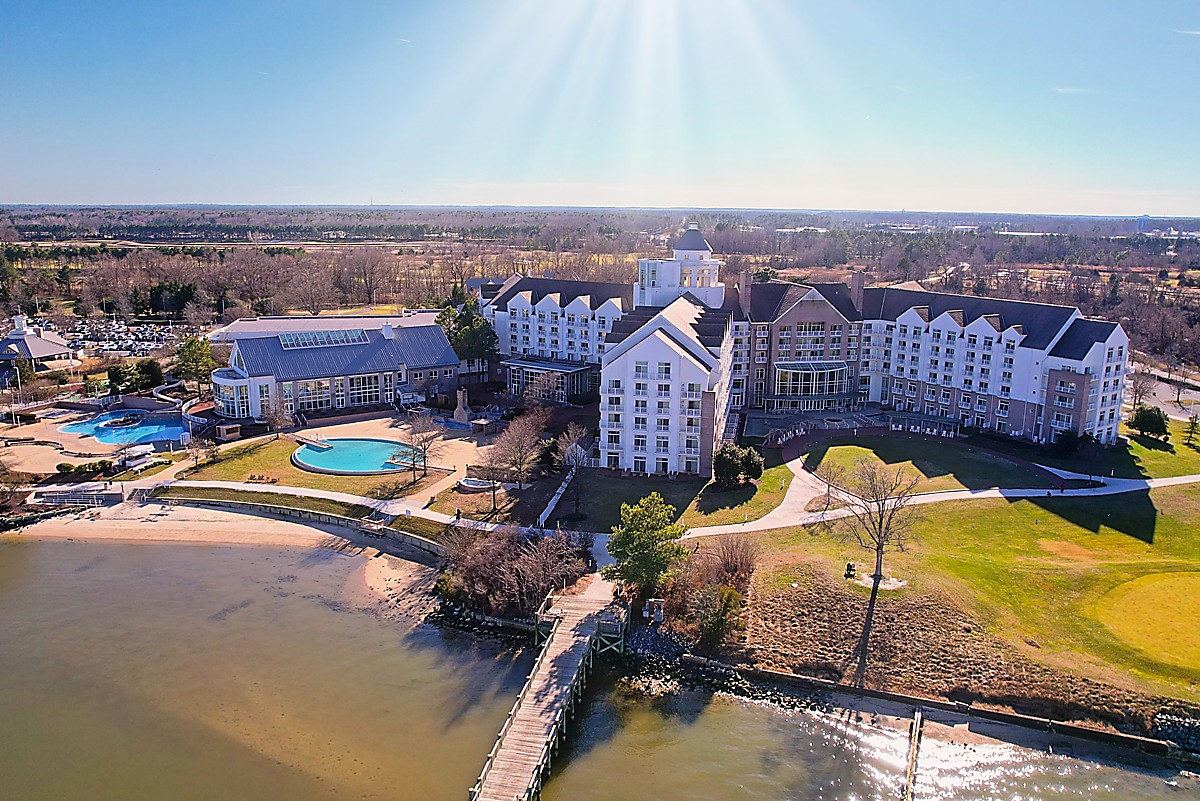
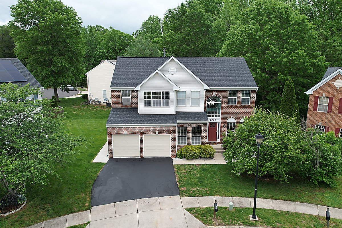
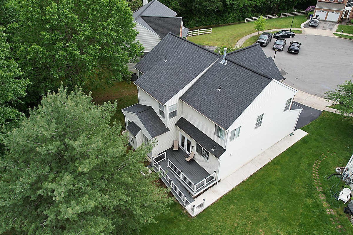
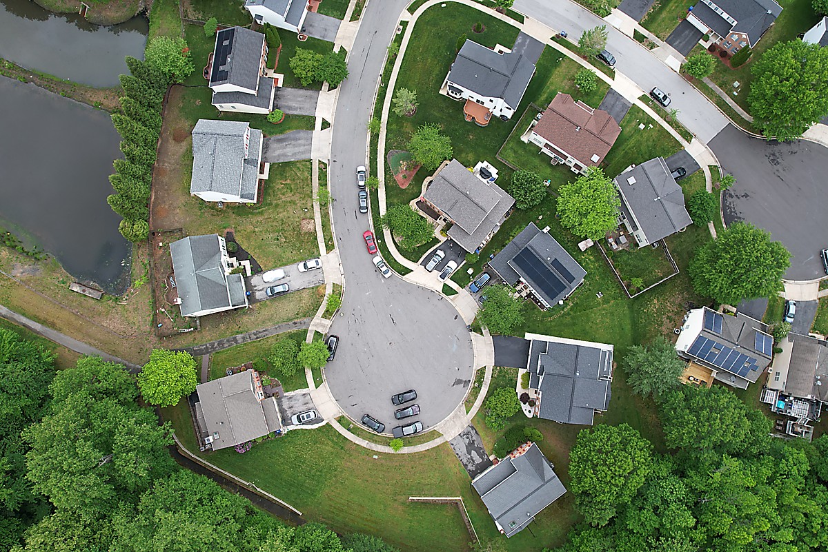
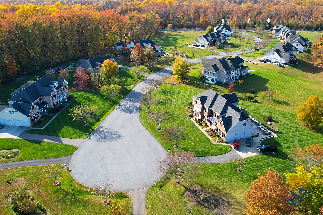
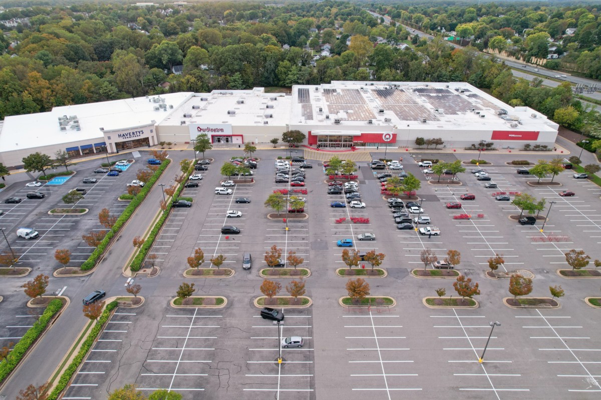
High-resolution drone photography for real estate, media, and marketing.
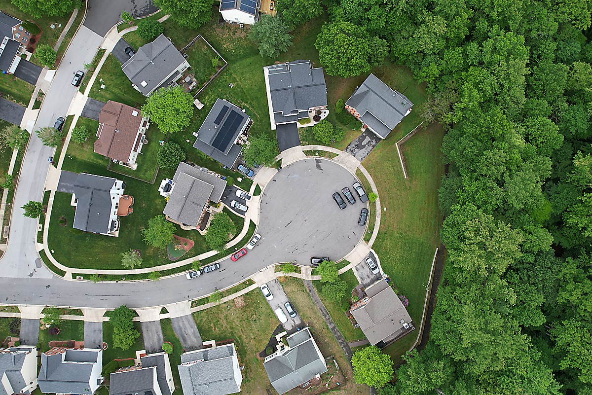
Accurate aerial maps and 3D models for construction and agriculture projects.
Consistent aerial documentation to monitor job site progress and performance.
Capture live events, festivals, and corporate gatherings from above.
Safe and efficient inspections for energy, infrastructure, and utilities.
Professional video production and editing for commercial use.
Perfect for small real estate shoots and personal events.
$299
Ideal for construction progress tracking and mapping.
$699
Full-service solution for commercial and industrial clients.
Custom Quote
Ready to take your project to new heights? Fill out the form below and we'll get back to you shortly.
Serving Washington DC, Maryland, and Virginia